
Finding Riverside Street Directory Clues
Walk one Riverside street one address at a time. The county property search supplies an APN, PIN, or address record. Map My County then shows the parcel shape and nearby addresses. The recorder index is keyed to parties and document details, so the parcel key must be translated into an owner or document number before a deed search. Voter data has a separate identity and purpose gate. Historical reverse directories can add a dated occupant clue, but they do not turn a parcel into a current household roster.
- Run the street number and name through the Riverside County Property Search. Copy the APN or PIN exactly.
- Open Map My County, choose the address suggestion, zoom to the parcel, and use Identify on nearby lots.
- Use the parcel key and current owner clue to search the Riverside recorder index by party, date, and document type.
- Use California My Voter Status only for a person checking their own record. A full voter file requires an approved purpose and application.
- For older occupants, compare the street section of a Riverside directory with maps, permits, and a matching census year.
This order keeps a street directory grounded in stable record keys. It also prevents an owner name, a mailing address, or a historical listing from being mistaken for proof of present occupancy.
Riverside Street Records by Address
Riverside's address records are split between the Assessor-County Clerk-Recorder, county GIS, city departments, and the California Secretary of State. Each source has a narrow purpose. The assessor connects a situs address to a parcel and assessment evidence. The GIS viewer adds geometry and jurisdiction. The recorder documents transfers, liens, and plats through party searches. City permits show project activity, while voter records have a lawful, purpose-limited route.
| Record Set | Keeper | What It Shows | Access |
|---|---|---|---|
| Property and assessment roll | Riverside County ACR | APN, PIN, situs address, ownership and assessment evidence | Free web search, office computers, microfiche |
| GIS parcel map | Riverside County GIS | Parcel lines, address points, streets, adjacency and land-use context | Free Map My County viewer |
| Deeds, liens and plats | Riverside County Recorder | Indexed parties, recording date, document number, type and legal description | Free index, paid copies |
| Building and planning permits | City of Riverside | Work, applicant, contractor, inspections and project activity | POSSE and city records request |
| Voter registration file | California SOS and Riverside Registrar | Approved file fields such as residence, precinct and participation history | Personal lookup or permitted application |
| Reverse directories | Libraries and archives | Dated address-to-listed-person clues and street order | RPL, Corona fiche, local-history help |
The APN is the useful join key. It can connect an assessor result to a GIS parcel, a recorded document, a permit file, and a map even when a street label changes. A tax mailing address is a correspondence clue, not a census of the people at the situs address. A permit applicant or contractor is tied to a project, not automatically to a household.
California My Voter Status asks for first name, last name, full date of birth, and either a California driver license or identification number or the last four digits of a Social Security number, plus its privacy controls. It returns a person's own registration location, status, precinct, and election details. A full voter file is a different channel: the Secretary of State application requires a permitted purpose, identity and affiliation materials, a wet signature, government photo ID, and a fee, with mail, in-person, or courier delivery rather than email or fax. Confidential voters and preregistrants are excluded. Riverside Registrar of Voters assistance is at 2720 Gateway Drive, 951-486-7200.
Riverside Property Search Fields
The official Riverside County Assessor Property Search advertises three address routes. Choose one route, enter the value, and preserve the returned parcel number before moving to another source. The live screen does not advertise an owner-name search, so a name-first assumption can send a search in the wrong direction. Richer ownership, parcel-map, and historical material is available on office computers or microfiche through the county.
| Field or route | Type | Required | Riverside use |
|---|---|---|---|
| Assessor's Parcel Number | Text search route | One route | Use the first nine digits for an assessment-number search. |
| Property Identification Number | Text search route | One route | Distinct supported parcel key. |
| Property Address | Text search route | One route | Enter street number and street name, such as 123 Main. |
Separate the situs address from the owner mailing address. A trust, second home, post office box, or owner living elsewhere can make those fields differ. A homeowners' exemption, if the record displays one, may add context, but no parcel card lists every resident. Use the ACR locations page for the Gateway office, 2724 Gateway Drive, and downtown office at 4080 Lemon Street when the online result does not answer the record question.
The county's office-location page also gives the main phone, 951-486-7000, and hours of Monday through Friday, 8 a.m. to 5 p.m. Office computers and microfiche are a real fallback for street research, especially when a parcel needs older ownership or map context.
For a visual reference to the county's research locations, visit the Riverside Assessor-County Clerk-Recorder locations source before choosing an in-person stop.
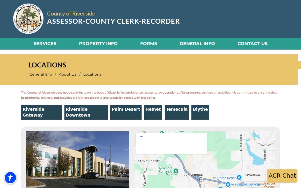
The location information pairs the free address search with the county's counter and microfiche options, rather than treating the web screen as the whole record system.
Map My County for Riverside Parcels
Map My County is the browse layer for a Riverside street. Enter an address or APN, select the suggestion, click Search, and then zoom until parcel lines and address points can be read. Identify can open a parcel summary and links to assessor or recorded-map material where the live configuration offers them. The viewer's documented layers include street centerlines and names, address points, assessor and recorded-map links, Google Maps, code cases, PLUS land-use activities, wells, and septic information.
Use the map to inspect a named street parcel by parcel. A neighboring lot can sit across a jurisdiction line or have a mailing city that differs from the city boundary. The viewer records configuration changes such as Street Intersection search in July 2023, Identify in July 2023, and clearer parcel lines in February 2024. These dates describe tool history, not a promise that every layer stays unchanged. A public radius or buffer search was not verified, so select and inspect parcels one at a time.
- Parcel
- A mapped property unit identified by a county APN or PIN.
- Situs address
- The physical location used to identify the parcel, separate from a tax mailing address.
- Plat
- A recorded map that lays out lots, blocks, streets, or easements.
- Criss-cross directory
- A historical directory arranged by address or street so a listed person can be found without a name-first search.
Those terms keep a street directory precise. GIS shows where a parcel sits, while the recorder's legal description and documents supply title evidence. Neither layer identifies every person who visits, receives mail at, or shares the address.
Riverside Deeds Need a Party Search
The Riverside recorder does not use a street address as its main search key. Start with the assessor's APN, current owner clue, or a known document number, then open the Official Records Search. Name Search accepts a text name, recording-date start and end, document types, and an advanced-name-searching checkbox. Other modes use document number, document type, or book and page. The index is free to search without a login, while images and copies are fulfillment items that may carry fees.
When a party search returns a useful hit, record the document number, recording date, indexed names, document type, and book, roll, page, certificate, or parcel clue shown by the order workflow. An indexed deed or lien is evidence about a recorded instrument. It is not a street roster. Military discharge records and sensitive fields can be restricted or redacted, and the public document-type values are rendered by the live vendor session.
Riverside County offers more than one access channel. Online searches and orders are available through the recorder vendor. Office computers cover newer material, the Gateway location is the historical stop, mail requests go to the Certified Section at P.O. Box 751, Riverside, CA 92502-0751, and the counter can handle routine same-day work unless research is extensive. The official ACR form asks for a document title or type, complete party names, an estimated recording date, and an optional parcel number when the document number is unknown.
Street Permits and City Records
The City of Riverside keeps completed permit files for the life of a structure. The public POSSE portal can search building permits by address, while other modes use a permit number, contractor, date, or project name. Planning searches can use an application number, date, applicant, address, or owner. A public search appears to work without a login; registered users can submit plans, pay, track, issue, and schedule or view inspections.
| Search mode | Useful field | What it can establish |
|---|---|---|
| Building Permits by Address | Address, at least three characters | Address-keyed project history |
| Permit Number | Exact permit number | A known permit record |
| Contractor, Date, Project Name | Mode-specific text or date | Project and activity clues |
| Planning | Application number, date, applicant, address, owner | Planning application trail |
Permit Details may show work description, contact information, and permit activities. Process can show review-cycle position. These fields identify a project, applicant, owner, or contractor tied to city work. They do not prove who lives at the property. Public Works help is available at 951-826-5341. The Riverside public-records portal is the fallback for an existing municipal record when a permit result is not enough. Name the department, date range, subject or property address, and record type. The City Clerk at 3900 Main Street, 951-826-5557, is another route for municipal records and historical city files.
Open the Riverside permit-search guidance for the city's description of the record types and public search route.
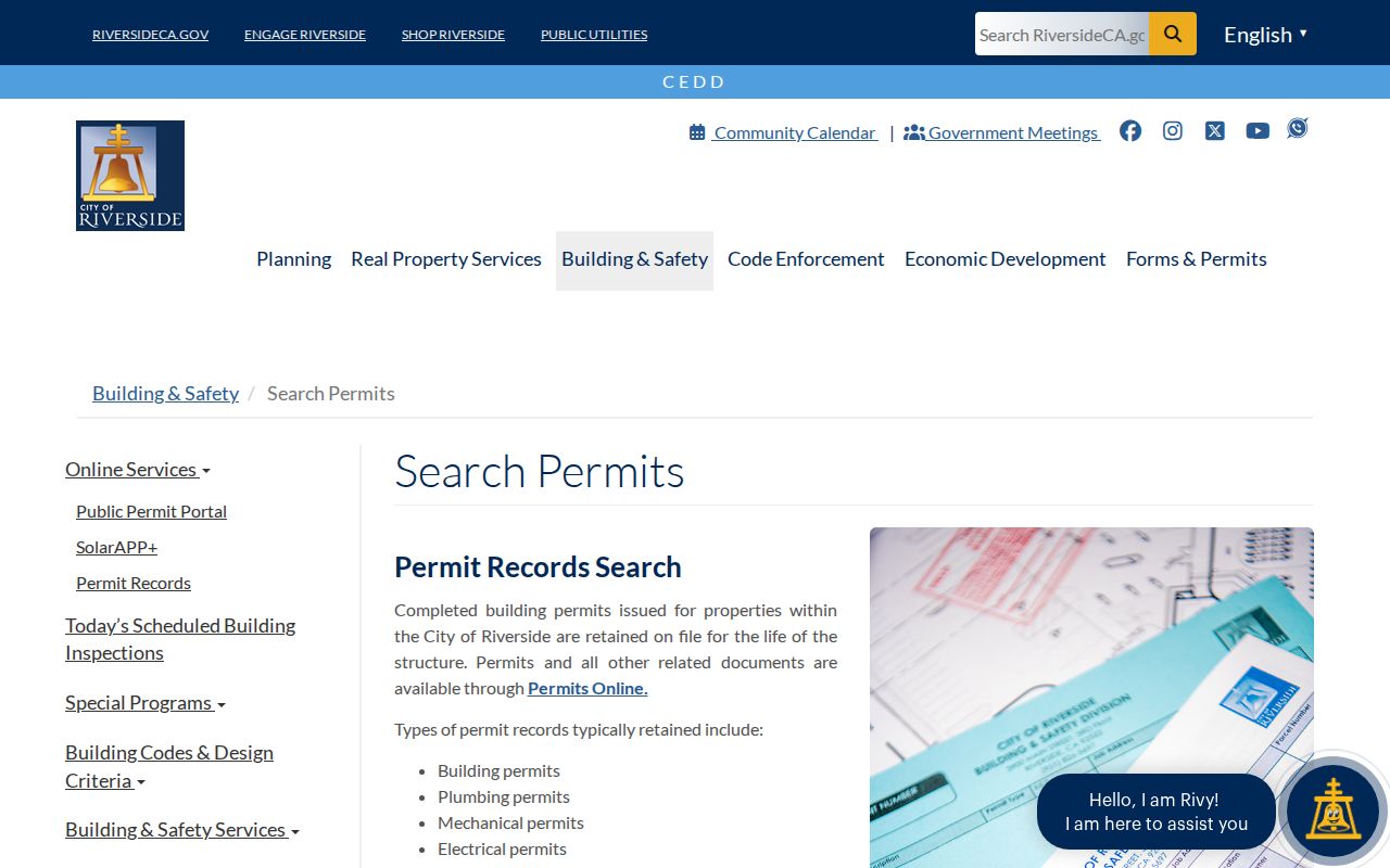
The permit guidance helps tie a street address to construction history without turning a project file into a claim about present residents.
The public POSSE entry screen is also useful when a parcel has a long project trail and the question concerns a particular permit number or inspection event. The public POSSE permit portal supplies the address and project search surface shown here.
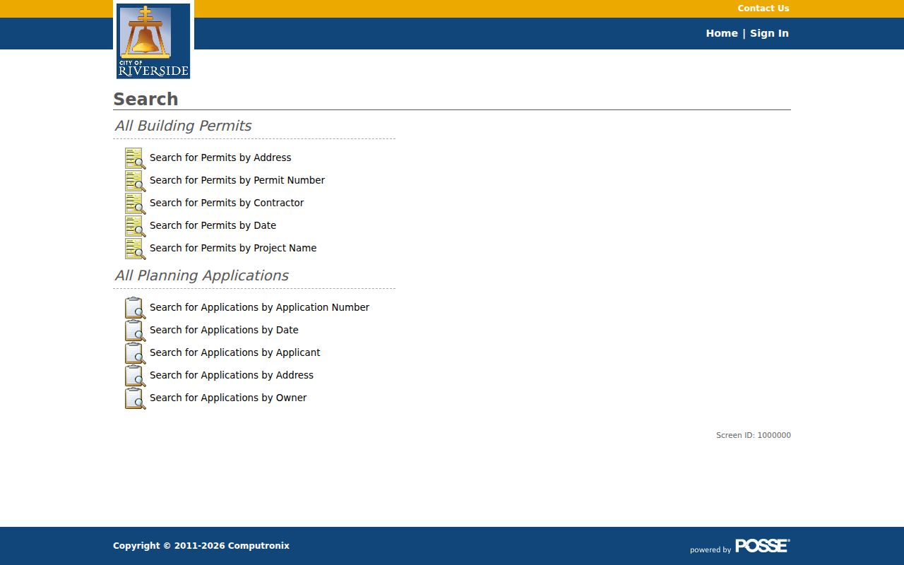
The portal view shows why address search and project search should be treated as separate routes in a street-by-street workflow.
Riverside Reverse Directories by Year
Modern address records rarely name every household member, so dated reverse directories can supply a historical bridge. Riverside Public Library evidence confirms locally consulted city directories from 1902 through 1936, while the Corona Public Library Heritage Room lists Riverside city and county microfiche from 1889 through 1966. These are publication-year snapshots. They may list a householder or a named business at an address, but a gap between editions does not prove a move.
Look for a street section, then compare the entry with the alphabetical name section. Local abbreviations such as res, cor, and ave help decode an entry. A listed residence can be checked against the 1895 or 1908 Sanborn maps, a permit, a deed, or a later directory. The Riverside city directory collections page is the natural next stop when the goal is the volumes themselves, their year runs, and how to read an entry.
For a recent address, use the directory only as historical context. For a changed address, preserve the old spelling, intersection, and house number, then test each variant against the Public Works street-name index, tract maps, APN, and legal description.
Riverside Street History and Map Keys
Street-by-street research in Riverside has a useful historical anchor. Riverside was founded in 1870, incorporated in 1883, and adopted a charter in 1907. Riverside County formed on May 9, 1893 from parts of San Bernardino and San Diego Counties. A deed, case, or map from before the county line may therefore be held under predecessor-county custody, depending on the place and date.
Do not invent a citywide renumbering year when an old street disappears from a search. Riverside's property-research materials point to Public Works original tract maps and a street-name-change index, RPL maps and newspapers, Museum of Riverside originals, Sanborn sheets, and ACR ownership records. The legal description and lot or block reference often survive a street label change better than a typed address.
ZIP geography adds another check. The assessor does not advertise a ZIP-wide owner search, and a ZCTA is not a USPS delivery assignment or a city boundary. Use USPS address verification for the mailing code, then use GIS to decide which city or county custodian controls a permit or code record.
The Riverside Recorder Reaches 1975
One of Riverside's most useful numbers is an access boundary. Recorder office computers reach 1975, while 1974 and earlier material is centralized at the Gateway location. That does not mean Riverside land records begin in 1975. County-era land records begin with the 1893 county formation, and earlier custody can trace to the predecessor counties. It means the place and method of search change when a street trail crosses the cutoff.
For a transfer near the boundary, save every party name, date, book or page clue, and legal-description phrase from the newer index before visiting or writing to the county. Ask the recorder whether the older volume, map, or image is available at Gateway. A focused request is more useful than a broad request for everyone connected to a street, because the office can search an existing record by names, dates, and record type.
Riverside Parcel Is Not a Household Roster
A parcel owner is not automatically the person who lives there. The tax mailing address can point to a different place, a trust, or a post office box. A neighborhood contact directory has a different purpose again. Riverside's official neighborhood registry lists organizations such as the Downtown Area Neighborhood Alliance, Eastside Neighborhood Forum, Historic Woods Streets Association, Northside Improvement Association, and Riverside Neighborhood Partnership. It gives public civic contacts, not a member list or a household roster.
The same boundary applies to voter and permit sources. A voter file released for a permitted purpose may contain a residence and precinct, but California excludes confidential voters and bars casual street-wide requests. A permit can name an applicant or contractor, but it does not enumerate children, guests, roommates, or every person connected to a parcel. Treat each record as evidence for the fact it was created to document.
For a visual example of the city's address-driven civic lookup, visit the Riverside neighborhood lookup. The separate neighborhood organization registry lists public contacts and renewal information, not household members.
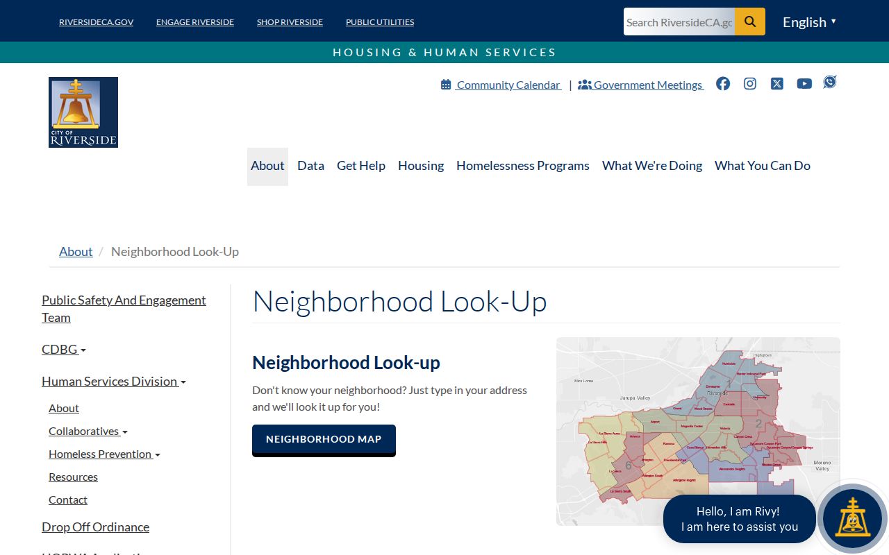
The neighborhood source adds a civic label to an address. It should not be read as a list of the people next door.
What a Riverside Street Directory Cannot Show
A careful street directory can show parcel and title evidence, dated permits, public project records, approved voter-file data, and historical listings. It cannot promise a complete list of current occupants. Unlisted occupants, minors, household members, utility customers, delivery recipients, confidential voters, Safe at Home participants, and people named only in sealed records may be absent by design. DMV personal information is protected under the Driver's Privacy Protection Act, and California confidentiality rules limit vital and court records.
Lawful use. Riverside address records are for personal, lawful research such as property history, family history, and civic curiosity. Repeated tracking, threats, stalking, or harassment can violate California Penal Code section 646.9 and related civil-harassment rules.
When the question shifts from a whole street to one person, the Riverside resident lookup workflow is narrower and safer. It asks which record can confirm a specific fact, then compares independent sources instead of treating a name match as proof.
Before relying on a result, confirm the custodian, date range, parcel key, and record type. A negative online result may reflect an old index, a protected address, a jurisdiction change, a portal outage, or a spelling variation. It is not proof that a person never lived in Riverside.